

- cross-posted to:
- opensource@programming.dev
- cross-posted to:
- opensource@programming.dev
You must log in or register to comment.
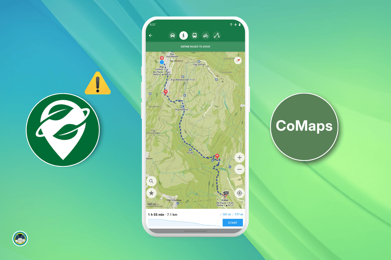
You might know of Organic Maps, the open source app that’s an alternative to Google Maps. Recently, concerns have been raised about its governance, with many contributors questioning the project’s transparency and direction.
Despite being advertised as a community-driven project, key decisions, including financial management, partnerships (with Kayak, for instance), and the inclusion of proprietary components in the code were made by a small group of shareholders, often without input from the broader contributor community.
These shareholders have reportedly used the project’s donation funds for personal expenses, like holiday trips, raising serious concerns about financial transparency.
As a result, many contributors teamed up and forked the project, establishing CoMaps, a new alternative focused on openness and being not-for-profit.
project’s donation funds for personal expenses, like holiday trips
I do have the same overall concerns though and for me enough reason to switch the moment its possible also. But I tend to see the ‘the holiday trips’ as a symtpom instead of a problem. Later on they explained that some developers received 3 months salary worth of pay over the course of 4 years. Putting a lot more time in it during those four years. If I contributed that much for free I also would spend it on a holiday. But the problem is like you said transparancy:
- No openness of financial transactions which I guess showing salary wouldnt be a problem and if everybody was able to see the salary was reasonable. (and I dont care what people do with it in their private live).
- Maybe they didnt organise it that way (paying oneself for labour and tell everyone) but maybe they used it directly for holidays etc, which is a problem for the business entity they have I guess. Like my boss paying my holiday instead of my salary.
- Reluctant to answer questions in reasonable timeframes (couple of months)
Switching is possible now, if you want. CoMaps builds have been released for a while, and are in f-droid I think since today? I have no idea about Google play store.
I can’t find it on fdroid.
I had to go to the F-droid setting, click on Include Anti-Features, then enable ‘Tethered Network Services’ for it to show up in the F-droid search.
Thank you!! I have it now.
Glad to be of help and that you’re up and running! :D
I just saw this post but didn’t look any further into it than reading the title.
Smartphone from employer doesnt permit sideloading. ;)
Is this ai?
This is patrick
Swayze, Stewart or from Bikini Bottom?
It’s the text from the article… How are you this dumb?
It’s not stupidity. They didn’t read the article then came to the comments and saw a strangely worded response.
Yeah, just read like ai
Good to see devs willing to do the work needed in order to draw hard lines on the capitalist leeches that divert money away from the project. I am looking forward to the traffic system that they mentioned as a future option. Would allow users that are okay with turning on those features for adding crowdsourced traffic data and stuff like marking cops posting up to get their quotas.
Literally the only thing that keeps me on Waze is that stuff. I have to deal with a lot of interstate travel to and from work and knowing that a big crash happened so I can re-route before getting stuck is crucial. I will still make sure to have this installed just like I had Organic Maps as a good option. And to see what stuff I go to that needs to be updated on OSM and StreetComplete. Had to add all of the addresses on my street on OSM a while ago just to be able to correctly enter my address. One of those addresses that is listed as one town for mailing and is technically within the borders of a smaller one with regards to utilities and plots of land.
The traffic system would be amazing. This is what is stopping me from using this.
The problem is if nobody uses it, there won’t be any data.
True, but if the option to start using it isn’t there. Then it also won’t have data to even get started. I remember when I first started using Waze back on my Galaxy S3, it wasn’t super helpful (for both the traffic and in some cases the map data). This was mostly due to it not being used by many people in my state at the time (the friend that told me about it used it in a much larger city with more “tech” people around). So even if it doesn’t help me directly right away, I am more than happy to start using it daily to report what I can.
Magic Earth
is open source andhas traffic/crowd sourced stuff like WazeEdit: Sorry guys, I don’t know why I thought Magic Earth was open source. Really looking forward to this if they get traffic data in there!
The actual app Magic Earth is proprietary, but it uses OpenStreetMap
Fucking RIP, someone on Lemmy recommended it to me and I thought it was open source. Should’ve known that Organic Maps would’ve also did traffic data if it was truly open source…
For now, I’ll still use it cause it’s better than being tracked by Waze/Google, but damn… Hope these new maps are good.
Edit: Downloaded Comaps from Fdroid yesterday but it wouldn’t download the maps, and I can’t get into the app. Gave all permissions, wifi was on (but also tried on data), and turned on compatibility mode on Graphene. Downloaded today from the Codeberg repo and it still has an error downloading the maps. Anyone else experiencing this?
Yeah, I’m in the same boat as you. But I’ve noticed my maps dont update any longer so I’m glad this is all coming together at the same time.
As closed source as it can get.
I haven’t heard of that one. Will look into it just to have options.
These shareholders have reportedly used the project’s donation funds for personal expenses, like holiday trips, raising serious concerns about financial transparency.
Anytime shareholders are involved you know it’s going to be shit.
Quick heads up for anyone running verbose NextDNS configs, you’ll need to add an exception for this entry currently to start the initial download


This meme format makes me sad ever since I learned that the blonde woman was outed as being severely physically abused by her husband here.
Oof. That sucks.
Time to fork the meme.
The cat’s her husband?
Yes
Nothing is as funny as having to undergo facial reconstruction surgery because your husband punched you hard enough to break your bones.
That’s horrible :( hope the cat was put down for that
I don’t know why I expected better than reddit level low bar dumbfucks here.
Says buttnugget 🤣
I agree that my silly username is the same thing as joking about severe domestic violence. Fucking bottom of the barrel worthless dumbfuck.
U’d love to use Osmand on a daily basis but the map renders so slow for me that it becomes hard to use. Zooming out to then wait 10+ seconds is annoying. I still use it frequently but for everyday tasks I swotched to Omaps/COmaps.
Which rendering engine do you use?

Version 2 but I tried both.
Shame, that could’ve been an easy fix. I remember back in the day on V1 performance was really abysmal.
I hope they will make the destination search much better, it’s almost unusable now, and unintuitive. Regarding traffic data, how much could it be per user per year, something like this https://www.mapbox.com/traffic-data ?
Destination search in all the OSM based maps is a challenge. The Latin letter transliteration only applies to large features. So if I want to find an address in a country try that doesn’t use Latin script, I literally need a keyboard in that language or do a lot of cut and paste from Google Translate. My address never, ever works on OSM. Gets the wrong street, can’t even handle house/building numbers. Works fine on Google.
Magic Earth handles it decently.
Holy shit. Yes, it does. Thanks! Hadn’t heard of it until today
Not FOSS though. But privacy first
Honestly, that just seems normal to me. If you’re looking for an adress in a foreign language, it seems obvious that you’d have to type it in that language. I don’t really understand why people would expect their map to do it for them.
Because it’s an option already. “Transliterate to Latin letters.”
Edit: I should add that you should look at how many keyboard layouts there are. It’s kind of silly that for me to use an OSM based map and go to any county east of Slovenia I need to both have the keyboard AND know the transliteration of the alphabet.
Have you seen the Armenian or Georgian alphabets? What makes the K sound?
Did you know every dialect of a Slavic language using Cyrillic has it’s own distinct keyboard varied by mostly the letter for the nya sound and J?
Greek?
All while transliteration works fine in Google.
East Slavic languages only differ by the choice of i/y letters and Belarusian’s short u, Ukrainian yi and ye letters (and technically the apostrophe). You can have a combined Ukrainian and Russian alphabet keyboard. I have it on Heliboard
Bulgarian uses the er golyam/hard sign as a vowel, which it used to be in every Slavic language in the past. Macedonian is mutually intelligible, but uses an alphabet similar to BCS Cyrillic.
Magic Earth search isn’t that good neither. I use GMaps-WV to get the adress then, once clipped in memory, it opens MagicEarth automatically/
The only difficulty I find with Magic Earth is if you type in the address differently than it is in the system, it doesn’t always find it. “Highway” vs “hwy”, etc. But it’s way better than OSM+, whose search is borderline unusable.
Exactly, it isn’t permissive (like OSM, as you said). There should be some natural language research here.
I bet it wouldn’t be much.
I could switch to this app if it had live traffic data. Isn’t there any shared traffic data to get some info from for free at least to begin with?
There’s no FOSS app that does this unfortunately.
Just a collection of various ones https://github.com/graphhopper/open-traffic-collection
Magic Earth has live traffic data.
Not FOSS though
True. The real time traffic data is their business model. They sell it to professional customers for routing.
community-driven project […] shareholders
How does that work?
deleted by creator
Will there be an alternative to StreetComplete? An Apps that lets you contribute to CoMaps instead of Organic Maps?
edit n/m. I found out that StreetComplete contributes to OpenStreetMaps.
What was the benefit of Organic Maps over OsmAnd or other options? I never understood why Organic Maps was getting so much traction.
I prefer the simple interface of organic maps
OM and for now CoMaps are faster and easier to learn. For most people. With OSMand configurations are endless and people tend to get lost in them. Also the map data of OM is highly filtered OSM data. Meaning smaller files and a faster app.
The downside is less features, but as always … if you dont need the absent features … its a plus.
Now whats interesting how they both will keep it that way. My theory is when they listen to EVERY wish from random users (with other persona and user stories) they eventually become like OSMand too.
Organic maps (and now comaps) have a much better rendering engine. It’s much faster, while also being much more legible. It’s routing engine is also faster.
OsmAnd does have the upper hand when it wcomes to features though. I have both and use OsmaAnd when I need to export a route to GPX or see relief.
For me its the android auto compatibility. OSM won’t (and probably shouldnt) jump through the google hoops to do so. It’s at least nice to have a more open option for an otherwise very proprietary ecosystem. Even though organic maps has room to improve
Organic maps has traffic, osmand doesn’t. I feel osmand is better in pretty much every other situation but organic maps has traffic.
My Organic Maps doesn’t have traffic (or doesn’t for my area). I can’t see anything about it online either, except discussions about how it could be implemented.
Where do you find the traffic info? Even if zoomed in to New York I see nothing.
@pineapple @lewdian69 does it have traffic? Who provides that data?
Thanks for asking i’ve been wondering myself actually. I looked it up and organic maps doesn’t actually do traffic, although magic earth does (another not foss but apparenty privacy respecting map app that uses osm) It says it’s just crowdsourced from the general public who uses magic earth (in an anonimous way, I guess there are enough magic earth uses for it to work since Some people say it works really well. (although others say it doesn’t you should probably try it for yourself.)
On another note that I also found from my research just then, traffic knowing apps don’t actually improve travel times but they do make previously congested places more congested. sources:
Edit: Magic earth is not foss so there is no way to varify that the app is actually respecting your privacy like it says it is, i’m sorry for any confusion.
Magic Earth is proprietary, not FOSS.
Your right, I’m sorry about that I made an edit to correct it.
@pineapple I use Waze and the traffic info are very very usefull, especially when there are closed road or accidents. I know, it’s Waze and I’d love to be able to use OsmAnd (which I use for other purposes), but the traffic info that has Waze is the best so far (at least where I live)
The construction cite issue is a fair point. If you really need traffic maybe you should try using magic earth. It’s not FOSS but the privacy would still be leagues better than Waze (which is owned by Google)
@pineapple I am usually careful about my privacy (I self host most services that I use), but for traffic I’ve balanced the pros and cons since an app with a million download can’t beat Waze, I’ll use the latter ☹️
Fair enough, I’ll stop bugging you.
aaaand uninstalled
Installed, not seeing and noticeable difference to start but I’m glad someone took this up
Where does this fall on the spectrum of Differences in Opinion - We’re Evil Now?
just migrated to Organic Maps from maps.me and would prefer to not have to export and import and adapt to new UI again
It’s the same UI, and you can easily import your Organic Maps stuff.
Offtopic: Is it possible to “avoid road” upon tapping a location? OsmAnd offers this feature, in case you are confronted with a road block or construction site. CoMaps does not it seems. I can not correct routing live without this function.
Organic Maps and thus by extension CoMaps are supposed to be minimalist and light on features. They are kinda the polar opposite to OSMAnd (at least regarding that)
Should have named it libre map.
A little variety shouldn’t hurt. There are plenty of Libre X or Yet Another X projects already.