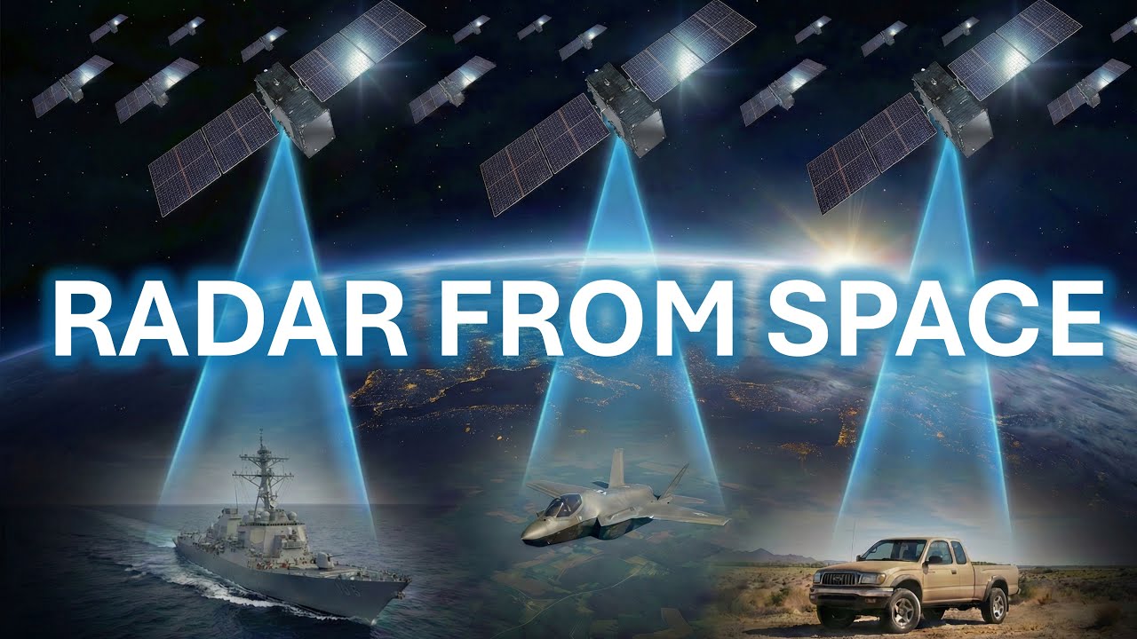
A full analysis of the future SAR AMTI/GMTI constellation for the U.S. military.Datacenters in Space Video: https://www.youtube.com/watch?v=uHHLQ8kbbs8Optica...
How is this news? GNSS (most prominently GPS and AIS) have been around forever via satellite. I have four different enterprise platforms for this. And satellite imagery on demand is also a thing, albeit a very expensive one.
Between integrated toll scanners like EZPass, and ALPRs, and phone location data readable by GAFAM and their thousands of ad affiliates… reading it from space seems like expensive overkill.
Perfect for the Pentagon.
GPS is a passive system. Your phone is only a receiver and sends nothing to the satellite.
But AIS and MMSI do broadcast to the birds.